Old Maps Online
| X | Y | Chyba [px] |
|---|
Transformace je proces, kdy je obraz přesunut do nové polohy, který je založen na přidání kontrolních bodů. Mapa musí být někdy deformována. Zde můžete nastavit výchozí hodnotu pro transformaci. Používá se jako výchozí transformace pro zobrazení mapy, 3D světa a webových mapových služeb (WMTS, TileJSON a XYZ).
Děkujem za zájem, ale tato mapa je už hotová a zkontrolovaná.
Prosím pomoz nám vdechnout těmto mapám život! Je to jednoduché.
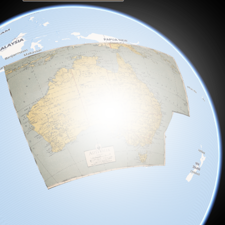
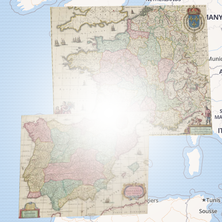
Cílem je najít stejné místo na obou mapách. Spoj tyto místa přidáním bodu do obou map. Více bodů zpřesní polohu.
Použí překryv pro zobrazení a zpřesnění polohy bodů.
Použij SHIFT pro přepínání mezi mapami.
Překryv se přepočítává okamžitě.
Zobraz souřadnice a přesnost pro zvolenou transformaci.
Táhni lupou pro umístění hranice mapového pole.
Po kliknutí na bot uvidíš detailnější náhled v lupě. Tlačítkem DELETE smažeš bod.
Více mapových polí? Přidej další stisknutím tlačítka.